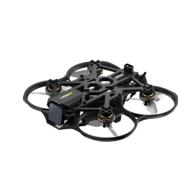
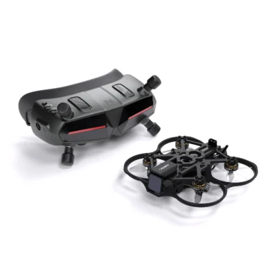
Caddx FPV Gofilm20
Ultra-light 2-inch cinewhoop with Walksnail Moonlight video for professional indoor cinematic footage.

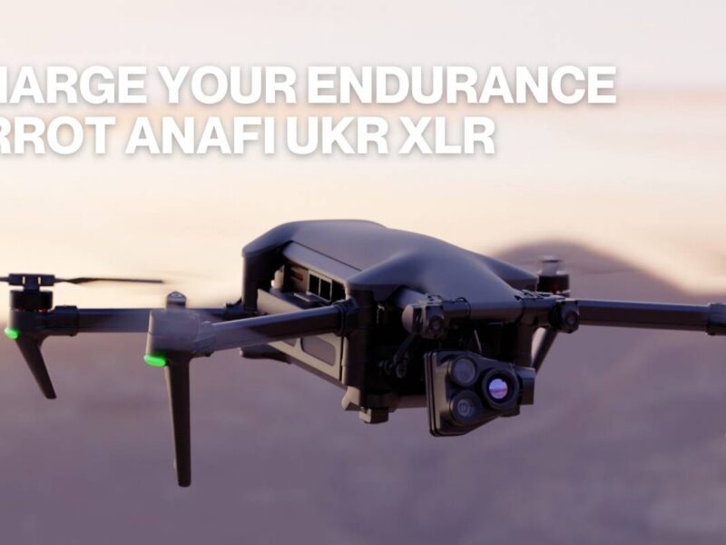
The Parrot ANAFI Ai is a European-made drone designed for professional photogrammetry and 3D mapping. Its unique 4G connectivity enables beyond-visual-line-of-sight operations and real-time data streaming.
With a 48MP camera on a 3-axis gimbal and built-in Pix4D photogrammetry software, it creates accurate 3D models and maps for construction, surveying, and environmental monitoring.
| Camera | 48MP, 1/2" CMOS |
|---|---|
| Video | 4K/60fps HDR10 |
| Flight Time | 32 minutes |
| Range | 4G unlimited / 4km Wi-Fi |
| Weight | 898g |
| Connectivity | 4G LTE + Wi-Fi |
| Software | Built-in Pix4D photogrammetry |
A quick summary of where this model performs well and where it falls short.
Want to know more about the Parrot ANAFI Ai? Send us an enquiry and we'll get back to you with pricing, availability, and any details you need.
We've received your enquiry about the Parrot ANAFI Ai. We'll be in touch shortly.
Ultra-light 2-inch cinewhoop with Walksnail Moonlight video for professional indoor cinematic footage.
Budget GPS drone with 2-axis gimbal, 4K camera, and two batteries for 64 minutes total flight.
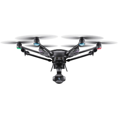
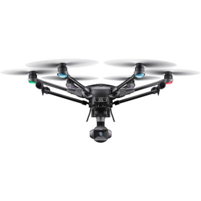
Professional hexacopter with Leica optics, 6-rotor redundancy, and retractable landing gear.